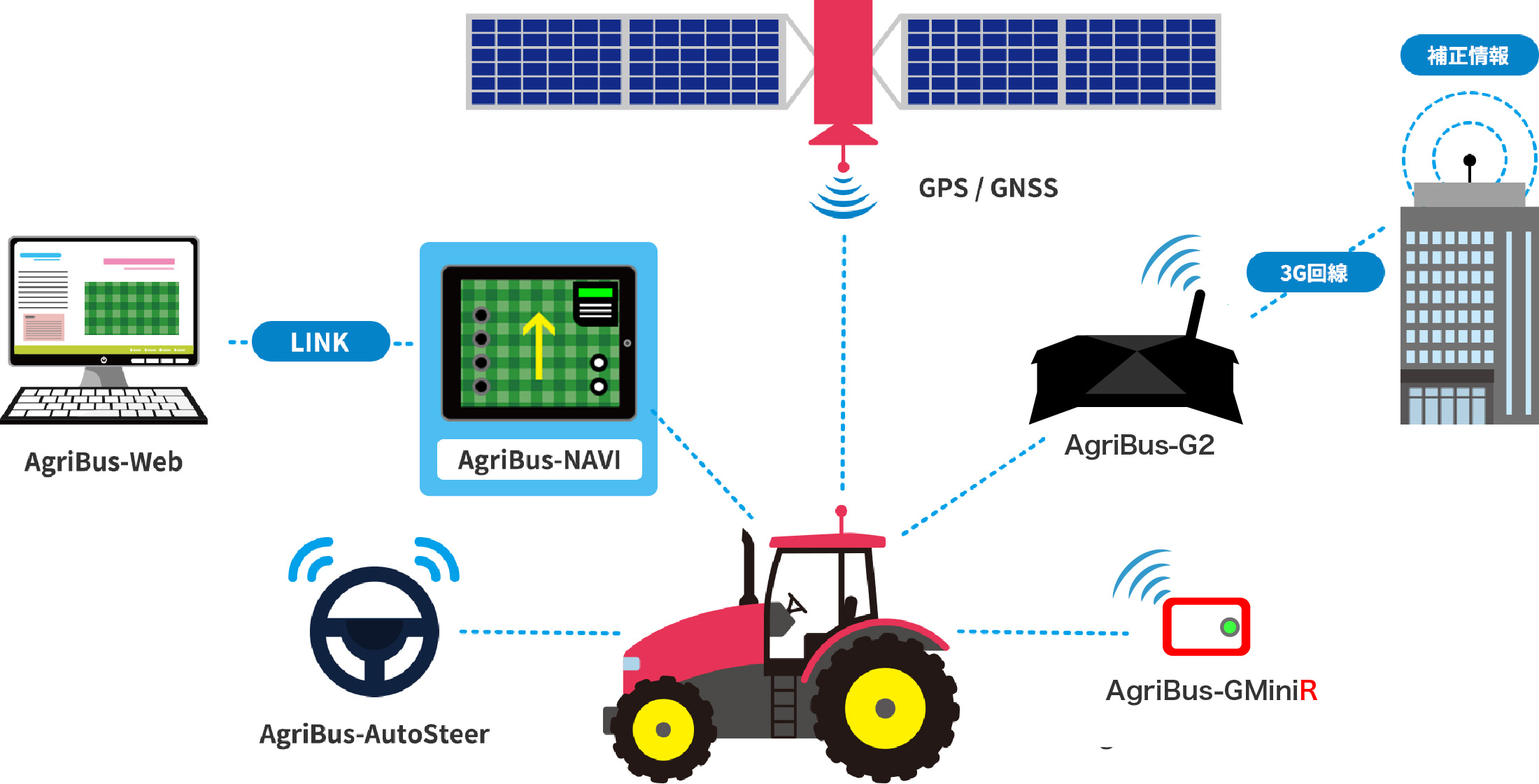
AgriBus-Web
What you can do when you register as a member
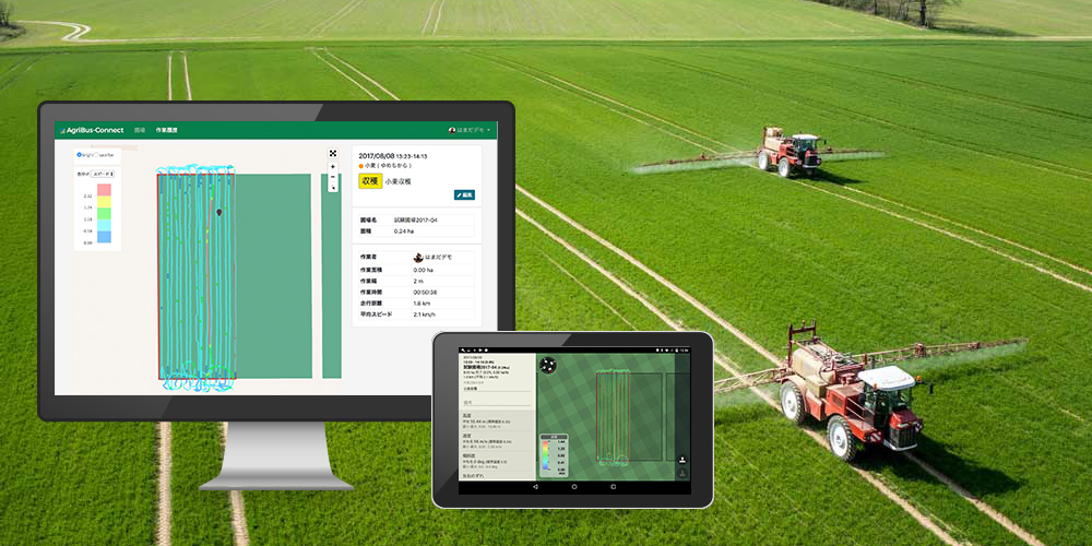
By registering as a member and logging in through the ” AgriBus-NAVI ” application, you will be able to use the cloud to store recorded Cultivated landWork history, manage data on a PC web browser, and add or change devices.
-
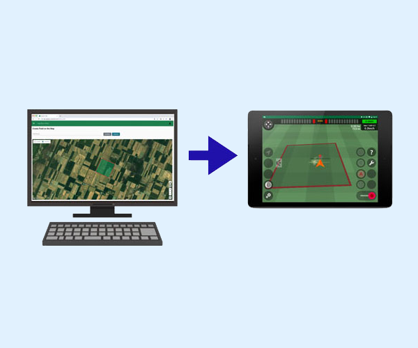
Manage fields and operations with a web browser
When you create Cultivated land data from satellite maps, the created Cultivated land will be depicted on the guidance map in the AgriBus-NAVI application.
By logging in with a web browser on your computer, you can import map data in KML format created by GoogleEarth or other means, and export your work data in TSV format.
*A subscription to the paid plan [Plus]is required to use this service. -

Backup data
By storing data in the cloud, the same data can be used in situations such as restoring data from a backup when reinstalling an application, changing Android devices, or using a second or third device.
*Backup of Cultivated land does not require a subscription to a paid plan, but the retention period for Work history is indefinite with the purchase of a subscription to [Plus]. -
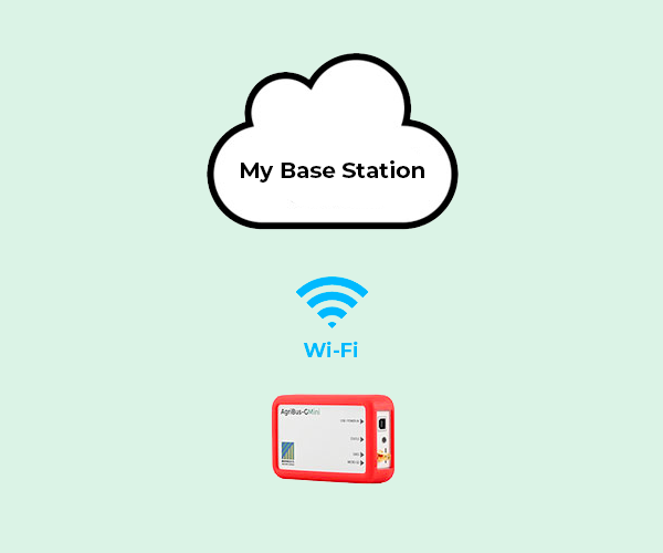
Establishment of My Standards Bureau
If you have the AgriBus-GMiniR, you can set up an RTK-GNSS reference station (My Reference Station) at your home.
After installation, simply log in on the ” AgriBus-NAVI side to receive correction information from My Reference Station.
*A subscription to the paid plan [Plus]is required to use this service.
If you combine optional equipment
More convenient & much less work and cost
