Today we are pleased to announce that the new version 4.2.1 of the AgriBus-NAVI app is now available on the Google Play Store.
The following features have been added and changed. We would like to ask all users of the application to check the following.
Landmark Display on the Guidance Map
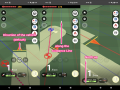
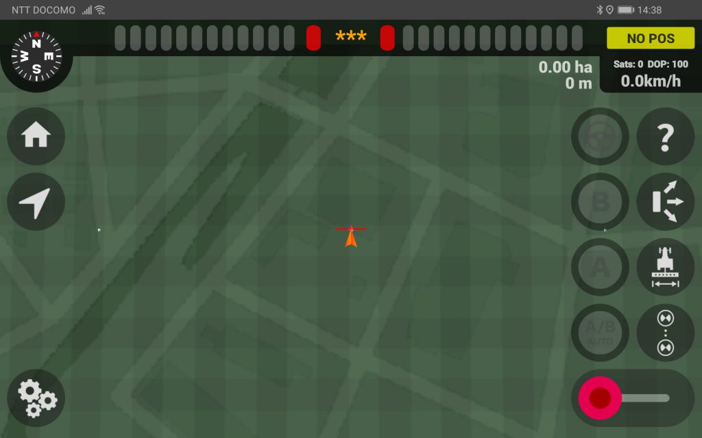
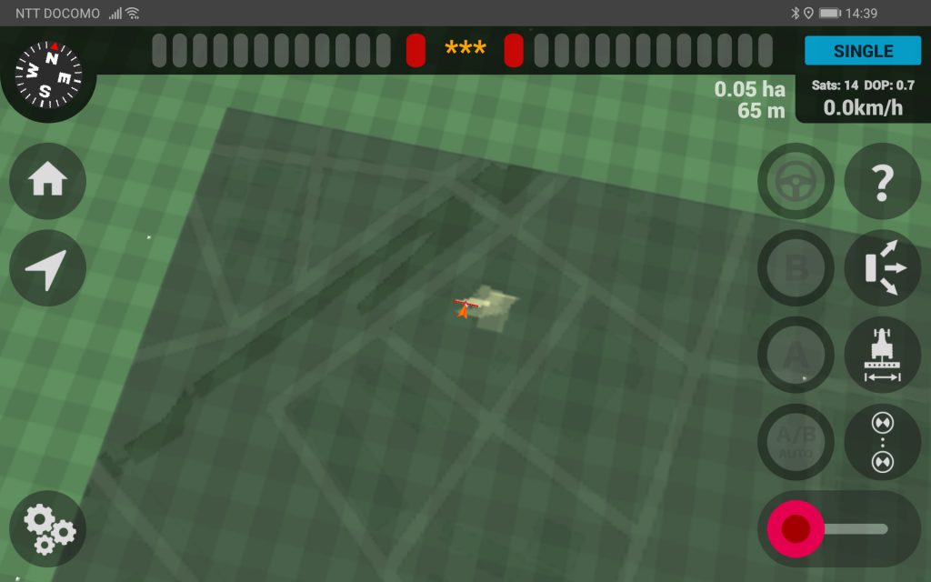
Until now, the guidance screen of the “AgriBus-NAVI” application had only a moving triangular vehicle symbol on a polygon with a green grid pattern, making it difficult to tell at a glance where the vehicle is running unless a Cultivated land is created.
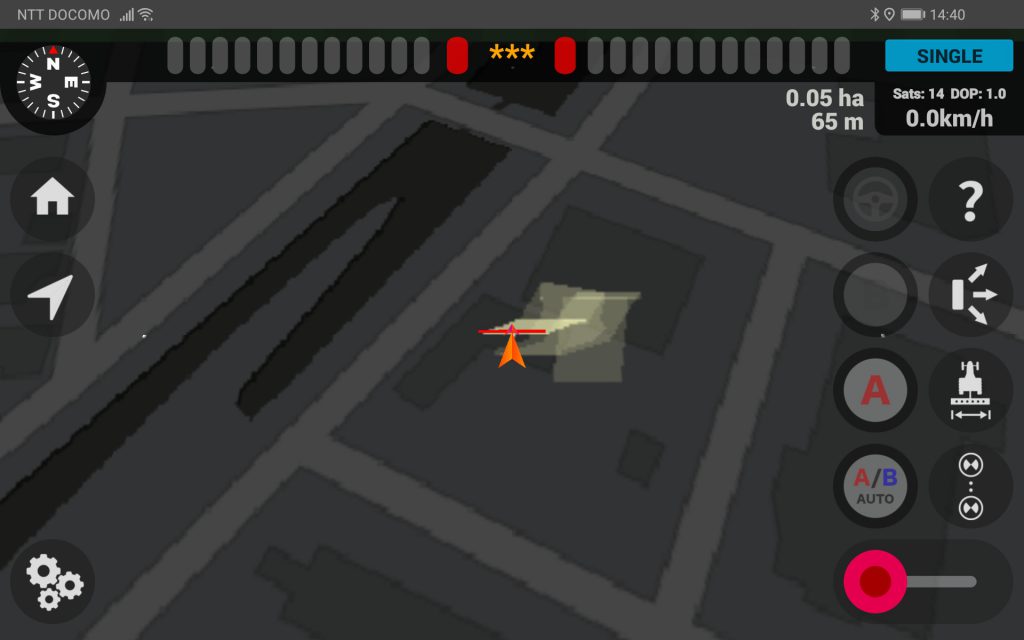
As shown in the picture above, in the new version, landmarks such as “road”, “river” and “typical building” can be covered on the polygon.
This allows you to know where your vehicle is to some extent, even if you have not made a single Cultivated land.
This is the state that the landmark display is made semi-transparent. Please use the setting that is easier to see.
Of course, you can also use it with polygons in a grid pattern as before.
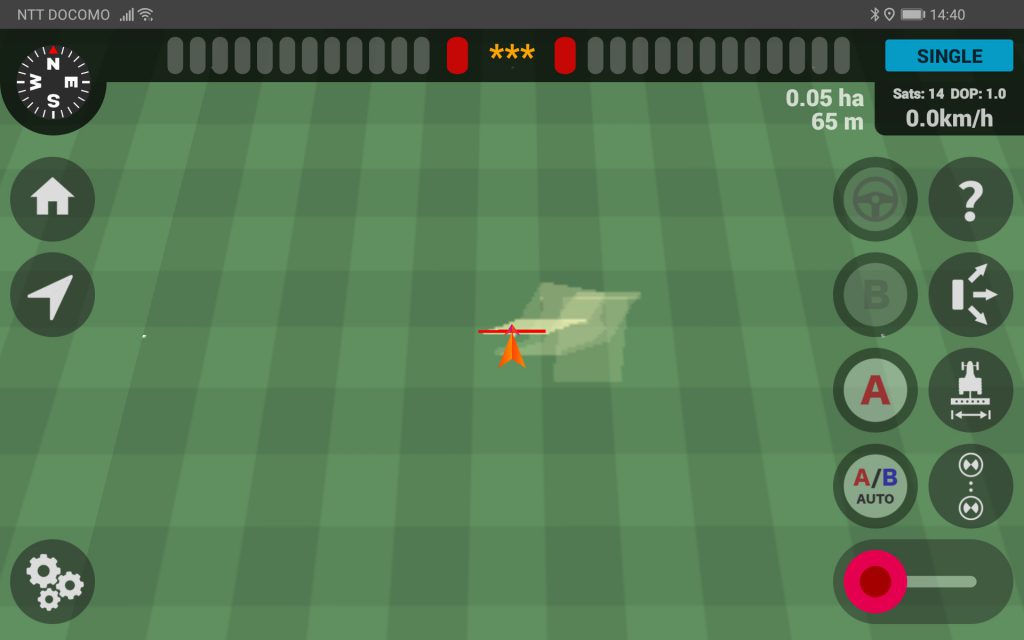
In order to make it easier to grasp the position of your car, the map is displayed in a wide angle from a very high position right after the guidance is started, and when it becomes “SINGLE”, it zooms in to the normal camera angle as shown in the picture above.
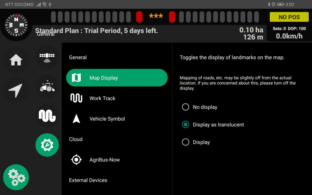
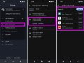
To change the landmark display settings, click the Settings button at the bottom left of the guidance screen and go to General.
important point
- Landmarks cannot be displayed without an internet connection
- Because we use a different service from Google Maps, the location of the Cultivated land may be slightly (about several tens of centimeters) different from the Cultivated land created using Google Maps.
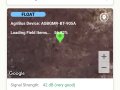
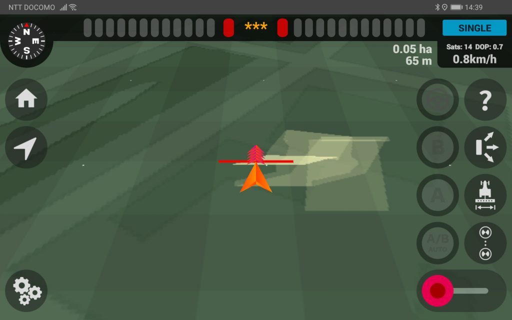
- As shown in the photo above, the map is displayed in 400m units, and if you leave this area while driving, the map next to it will be downloaded and displayed!
The map service used this time and Google Maps are the same, but the map information itself is inevitably off by several centimeters to several tens of centimeters from the actual position.
As the earth is round, it is inevitable that the position of aerial photos and map information will be shifted. If you are worried about the misalignment, please turn off the display as before.
Other details of the release are as follows.
Release Notes (4.2.1)
-
Landmark display on guidance map
-
Faster startup
- Design changes to the startup screen
-
Fixed fill scale in work report
-
Support for low and high speed ranges of steering volume
-
Steering override support
If you have any questions about this release, please contact us here. We are looking forward to your comments and requests.
https://support.agri-info-design.com/
Click here to download the AgriBus-NAVI app
https://play.google.com/store/apps/details?id=com.agri_info_design.AgriBusNavi